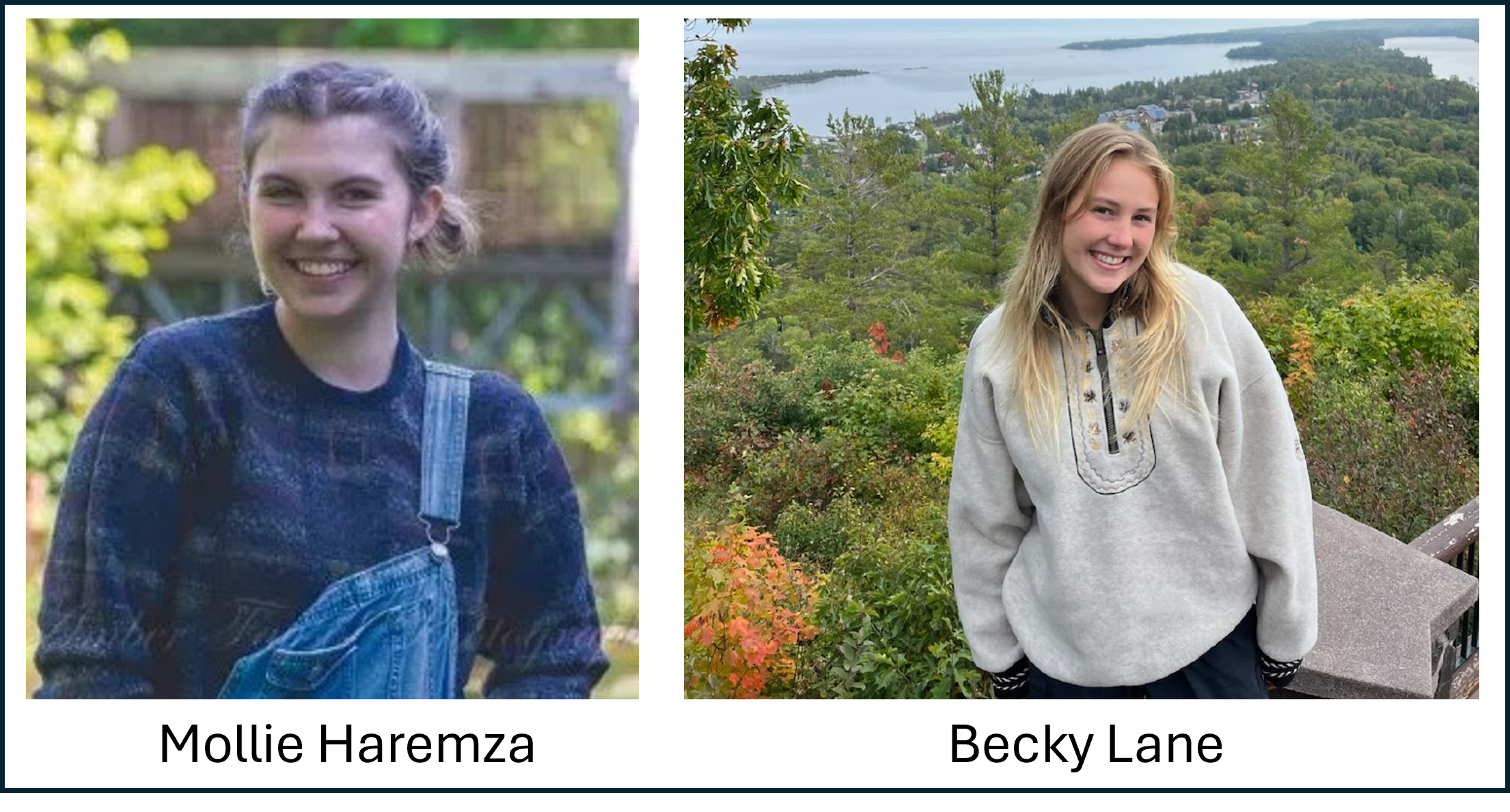
Leveraging R, QGIS and iNaturalist to test utility of Land Type Associations with Mollie Haremza and Becky Lane
The CDL has always been, and always will be a bit messy and hopefully super welcoming.
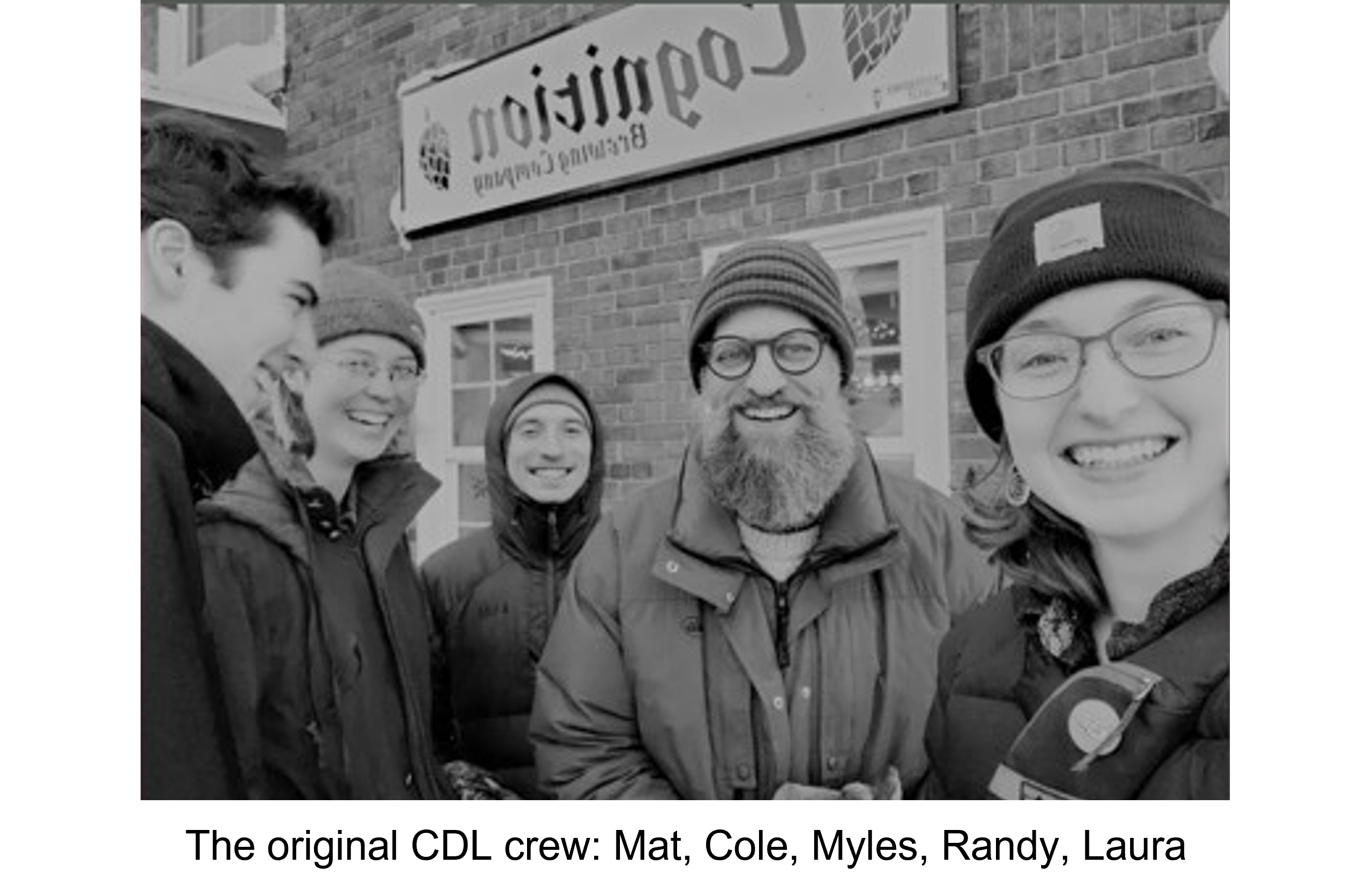
The CDL is essentially the product of a random idea, and an awkward meeting.
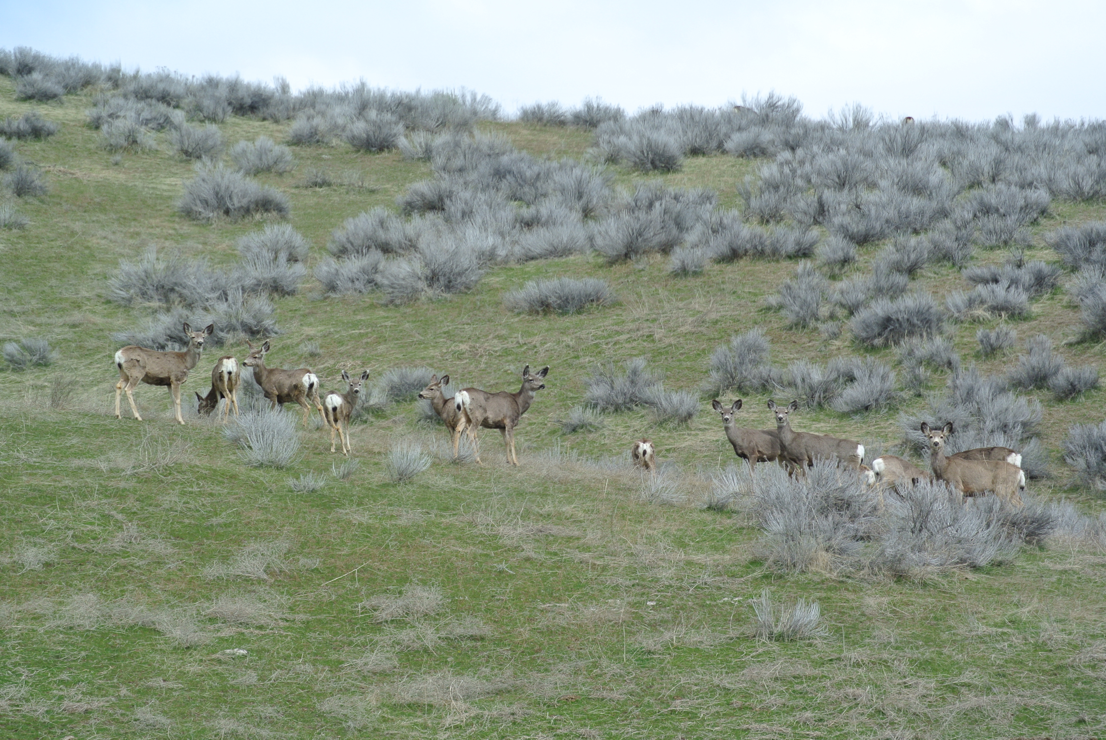
Exploring Datasets That Illuminate (Or Not) Mule Deer Migration Patterns: A Best-Case Scenario CDL Project
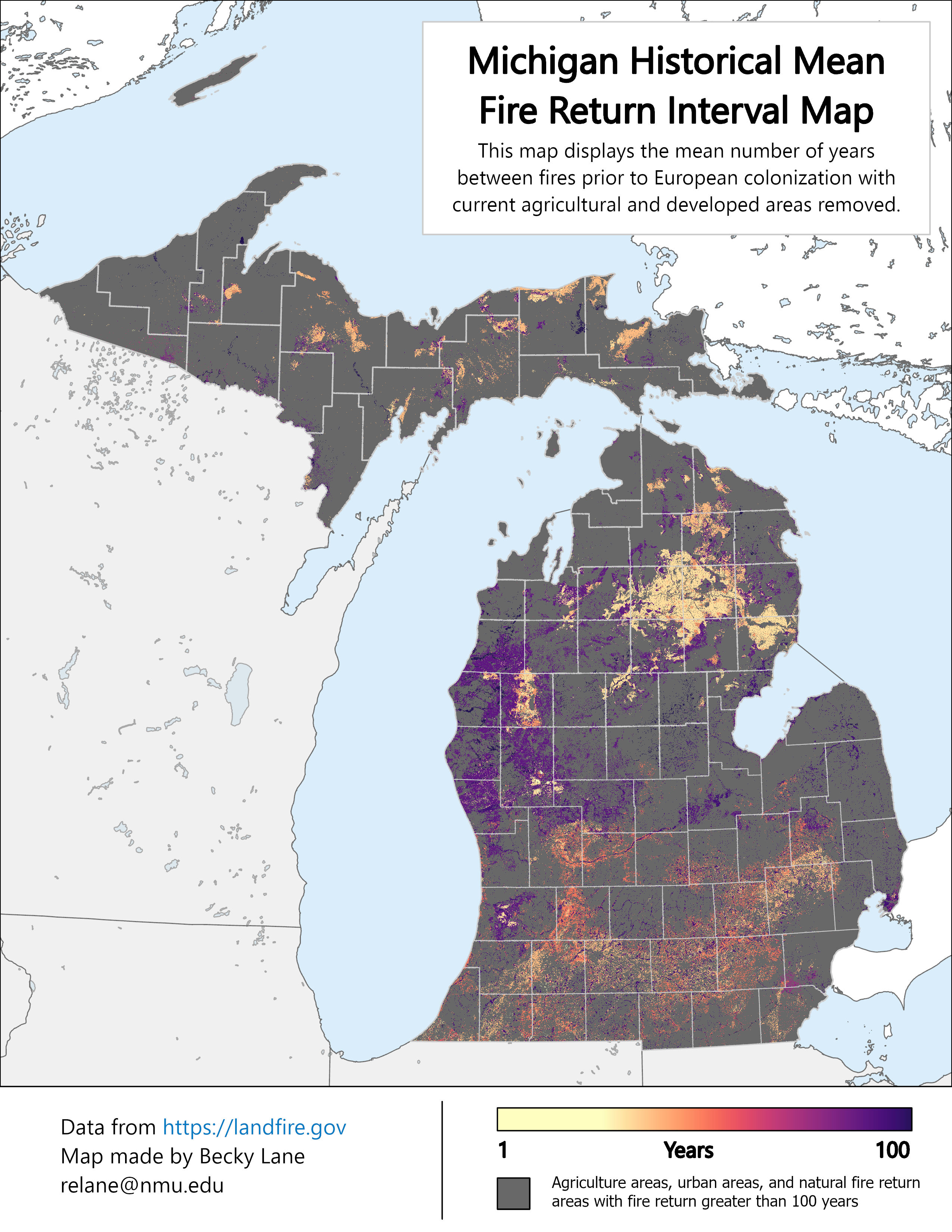
Exploring Michigan’s Historical Fire Regimes
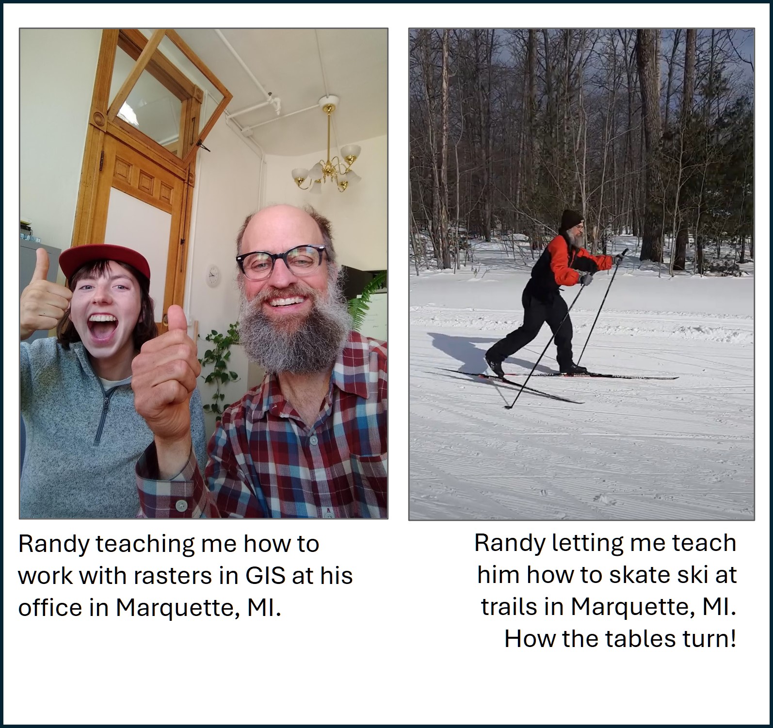
Exploring the welcoming community of the CDL
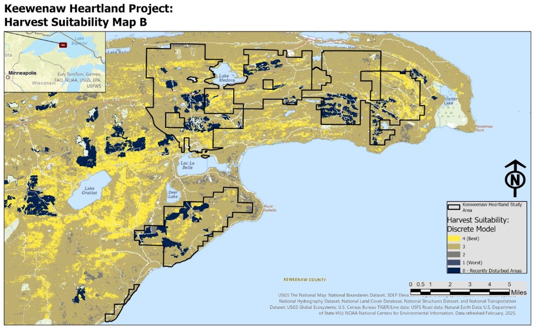
Using ArcGIS Pro and LANDFIRE data to map potential hardwood harvest locations
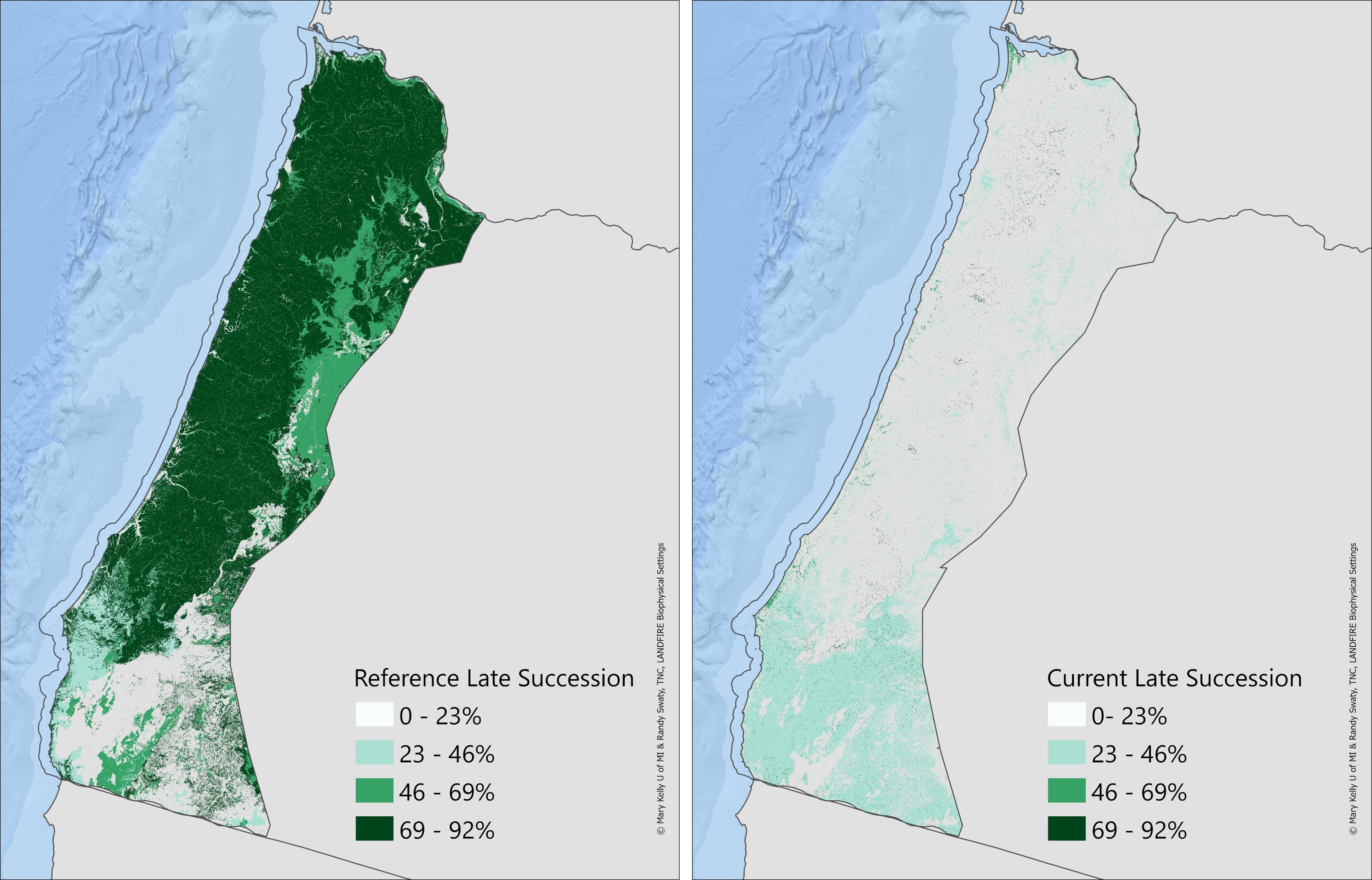
Comparing historical vs. current amounts of late succession habitat in coastal Oregon
Building a new website with Quarto, R, blog posts a new logo and an updated look